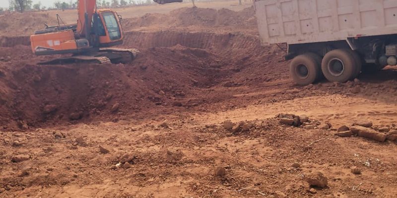
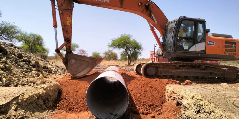
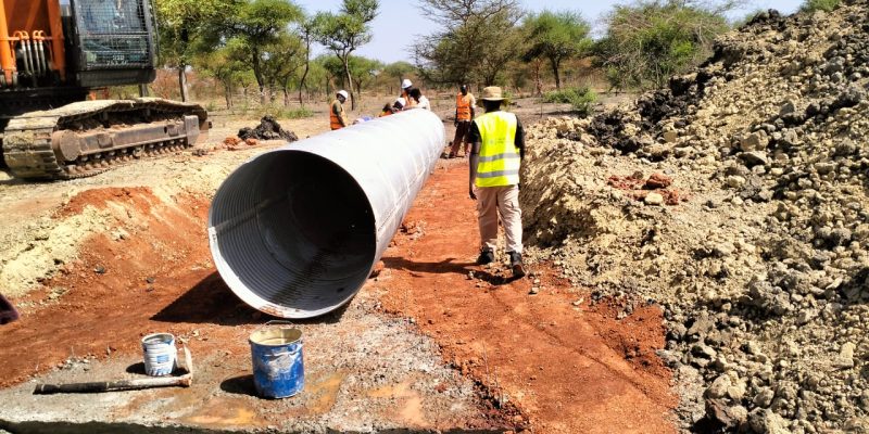
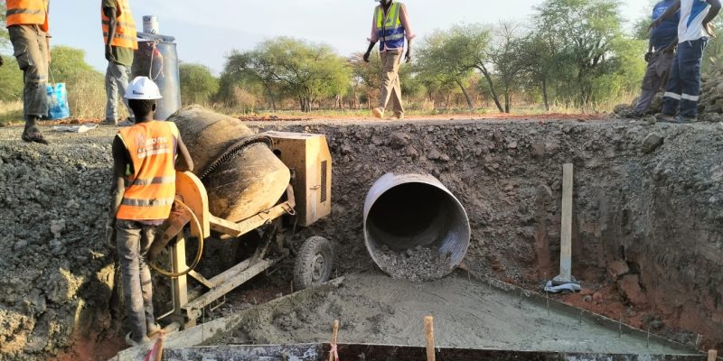
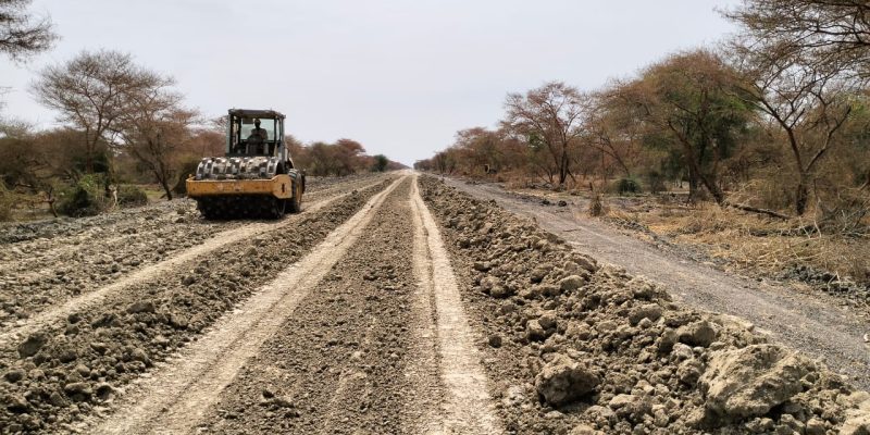
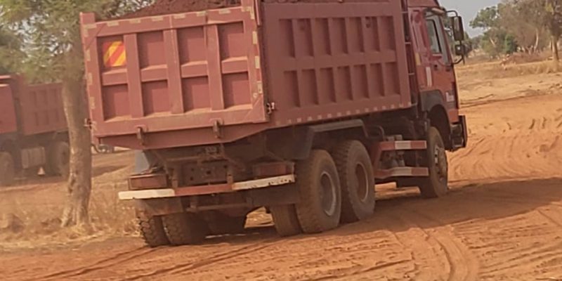
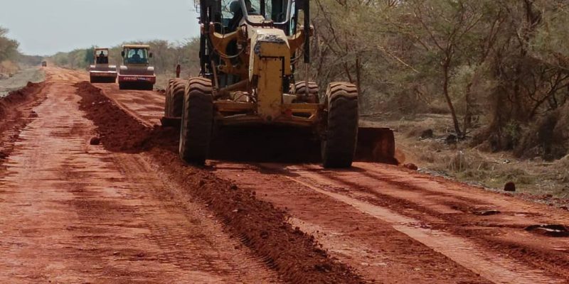
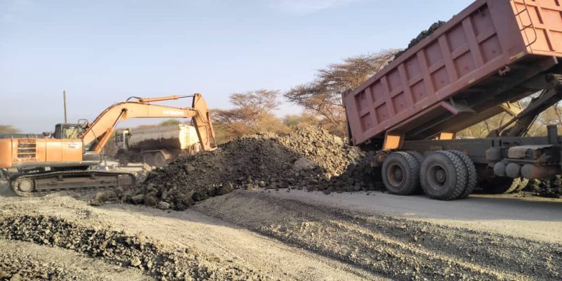
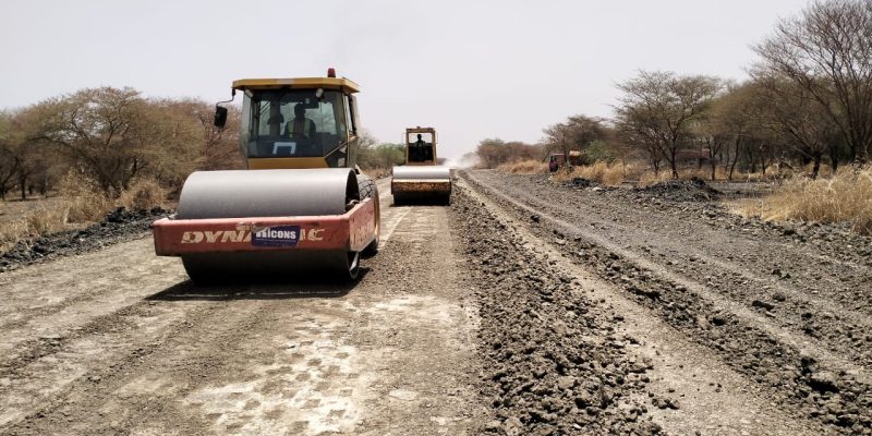
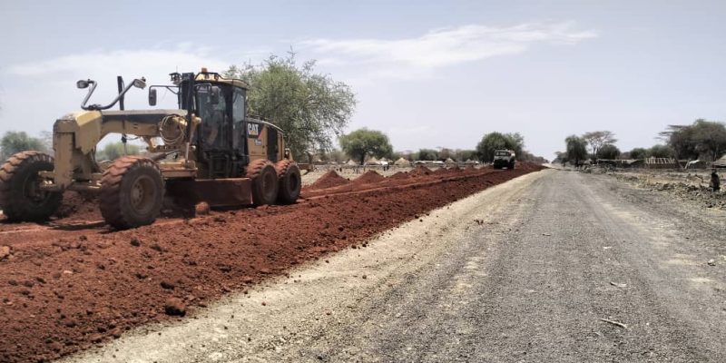
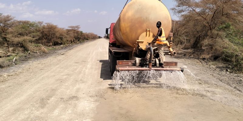
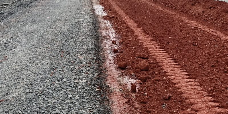
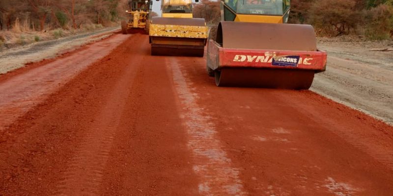
INFRASTRUCTURE PLATEFORM
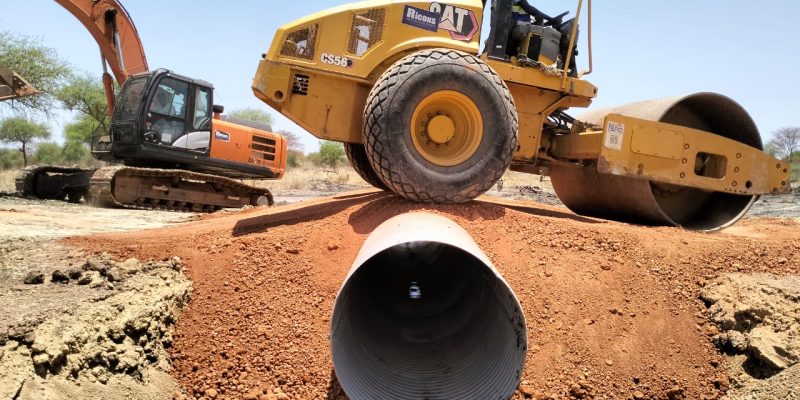
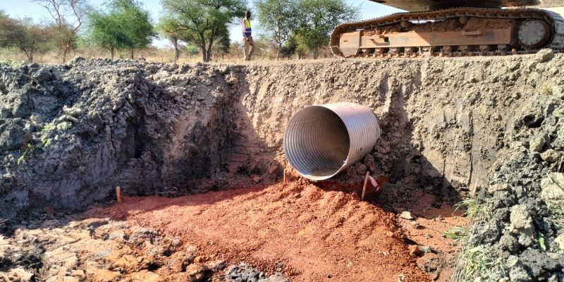
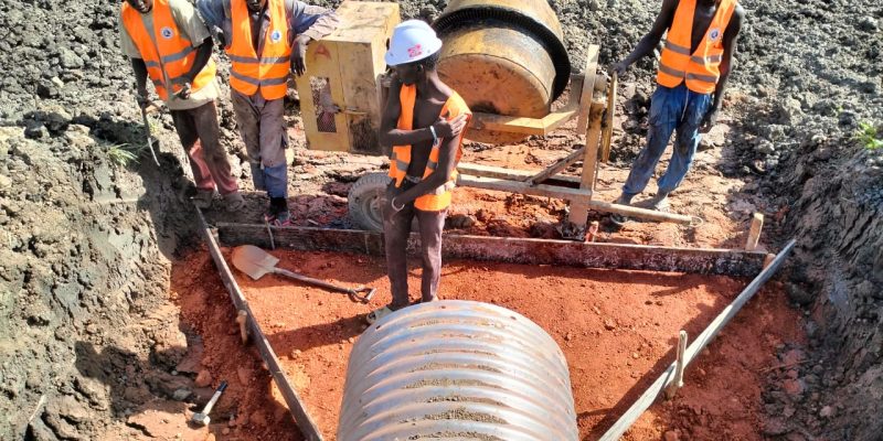
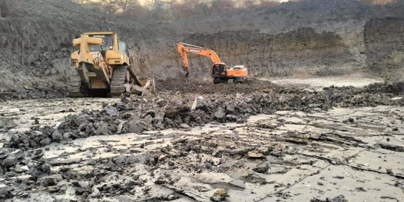
Ricons offers engineering and infrastructure services that include design, development, construction, and operation & maintenance, with a strong emphasis on Oil & gas construction-related projects. Roads and bridges, Tunnels, Airports, Oil and Gas Export Pipelines. Ports and harbours, Water Distribution System, Railway Lines, Dams Power Plants .

INFRASTRUCTURE PLATEFORM
Ricons offers engineering and infrastructure services that include design, development, construction, and operation & maintenance, with a strong emphasis on Oil & gas construction-related projects.
We are unrelenting and uncompromising in our commitment to achieving Zero Harm, We act responsibly to protect and enhance our planet and society.
SURVEY SERVICES
SURVEY SERVICES
RICONS ENGINEERING LTD prides itself in offering our Clients & Customers high quality, Topographical Surveys, Hydrogeological Surveys, Geological Mapping Hydrological and Meteorological Survey Services solutions through a combination of qualified/experienced personnel and cutting-edge service technological modern equipment and Latest Software applications. Professional areas of engagement comprise Topographical Surveys, Hydrogeological Surveys, Geological Survey, and Meteorological Survey Since establishing we have spent the past years building a worldwide network of consulting Geomatics Experts, Meteorologists, Land Surveyors, Physical Planners, Hydrologists, Sociologists and Environmental Experts. Our goal has always been to help you find the best consultant solution, and expert advice you need, when you need it the most. GIS SOLUTIONS: We do offer practical and up to date GIS (Geographical Information Systems) solutions with incorporation of graphical and tabular data for better assessment and understanding of real-world problems for all our clients. Our firm has a pool of registered professionals which include Geomatics Experts, Meteorologists, Land Surveyors, Physical Planners, Hydrologists, Sociologists and Environmental Experts. The firm and the professionals are registered with various professional and licensing authorities, such as the Physical Planners Registration Board, Institution of Surveyors, and National Environmental Management Authority, Geological surveys. Endowed with a Modern state of the art Surveying and Mapping instruments which range from Drones, GNSS Receivers (RTK), Marine Echo Sounders, Lidar, Ground Penetrating Radar (GPR), Total Stations, Digital and auto Levels. Our professionals are proficient with all mapping’s software in their line of expertise which gives us an edge in timely Delivery of services.
We will work with you to determine how you could benefit from hazardous weather preparation, then analyze your
region or site to identify potential hazards and utilize ethical practices to make professional, objective
recommendations specific to your unique situation.
Topographic/Cadastral Surveys
- Use of Total Stations and Prism Poles
- Use of Total Stations and no prism poles
- RTK GPS survey
- DGPS high accuracy surveys
- Digital High accuracy levelling
- Drone Imagery (See Drone Imagery)
- Satellite Imagery and Mapping services
hydrographic/aerial surveying
Carry out various hydrographic/aerial surveying tasks in the field
UAV Services Include:
HD Video & Still Inspection Surveys
Structural Mapping & Condition Surveys
LiDAR Surveys
Wide Area / Flood Risk Mapping
Quarry, Mines & Landfill Surve